10 April 2026
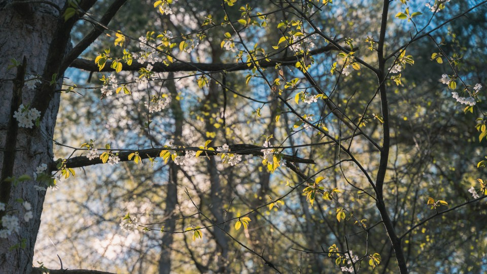
Spring heralds the start of mild temperatures, plants bursting into flower and the return of hiking! Crans-Montana is an endless playground for hiking enthusiasts. Gone are the days of hibernation, it's now time for relaxing or more strenuous walks to top up on vitamin D.
This spring, we'd like to suggest three ideas for hikes to admire the landscape in full bloom as well as amazing views in the sunshine.
The Grand Bisse de Lens walk links the villages of Icogne and Chermignon-d'en-Bas (or vice versa). This bisse was built in the 15th century to take water from the Lienne to irrigate the land on the hillsides, and these channels and footbridges today allow you to walk around the Châtelard hill, crowned by the majestic statue of Christ the King. Take the opportunity to stop and admire some of the finest views in Valais overlooking the Rhone valley.
Like many of the Valais ‘bisses’, this one is renowned for its dizzying rock faces. If you're a little unsure, don't hesitate to turn back rather than risking ending up with mixed souvenirs of your walk! If you dare to continue, you'll be rewarded when you find yourself face-to-face with a giant letter N, and a bench from where you can admire yet another superb panorama.
Before or after your walk, why not treat yourself to a meal on the terrace of the Gault&Millau-rated restaurant Le Monument. The restaurant offers seasonal cuisine, and is just a stone's throw from the Christ-Roi statue.
Details
Difficulty: Easy, 2/5
Distance: 8.8 km
Duration: 2h31
Ascent: 23 m
Descent: 84 m
How to get there
By public transport: Icogne, Village Post Bus stop
By car: Cachiblio car park
.png)
.png)
The Chemin des Contrées path connects two areas known as the Noble and Louable Contrée (between Sierre and the Plaine Morte glacier). Since 2020, this easy, relatively flat route has linked previously inaccessible areas in an extraordinary natural setting, and with breathtaking views. What's more, along the way, 7 educational panels tell the story of the region, and feature stories from local figures.
The trail starts in the charming village of Mollens, where you can admire a variety of historic buildings, the chapel, the church and other treasures of the local heritage. In the middle of the route, a place known as "le Boup" (a name from the local patois, which means "hole" or "abyss") bears witness to the changes that took place during the retreat of the glaciers. With its purple rocks, this amazing area for minerals is sure to delight geology buffs, and will impress most visitors. What's more, in spring the area transforms into a veritable Amazonian rainforest, where you can find all the local fauna living side by side, to the delight of both nature lovers and youngsters.
Our tips
As there are different viewpoints and picnic areas, we recommend you take something to eat and drink with you, and share memorable moments in the heart of nature.
Info
Difficulty: Moderate, 3.5/5
Distance: 14.8 km
Duration: 4h25
Ascent: 217 m
Descent: 249 m
How to get there
By public transport: SMC bus stop Mollens VS
By car: parking places in front of the ‘salle polyvalente’ hall
.png)
.png)
This ten-kilometre hike starts in Venthône, a small village 800 metres above sea level, and ends in Varen, in the Upper Valais. These two ‘bisses’ follow on from one other in a magical setting, and are a world away from the steep, vertiginous ‘bisses’. The end of the Bisse Neuf (also known as the Bisse du Bénou) and the beginning of the Bisse de Varen lie on the linguistic border in Valais, separated geographically by the Raspille river. The route takes in a small part of the Finges Regional Nature Park, in a landscape filled with deciduous trees, conifers and also a long stretch of sparsely vegetated land. From here, a clear view opens up over the vineyards around Varone and Salgesch, and also the Rhone river and the vast Finges forest.
Just before you go from one ‘bisse’ to the next, you come to an intersection where a slope leads you down to the Planige picnic area, which has a playground and shelters, making it the perfect place to take a break with children.
Details
Difficulty: Easy, 1/5
Distance: 10.7 km
Duration: 3h15
Ascent: 232 m
Descent: 284 m
How to get there
By public transport: SMC bus and funicular - Venthône, Village stop
By car: Obabao car park or Venthône school car park.
.png)
***
INFORMATION
Crans-Montana Tourism & Congress declines any responsibility in the event of accident | Please respect the fauna and flora | Stay on the marked paths | Keep dogs on a leash and pick up their waste (subject to fines).
